Geospatial intelligence for critical industries
Decision-making at planetary scale.
01
Method
Organized Matter is a Geospatial AI lab, developing a proprietary computing engine to turn large-scale multi-domain spatial data from satellites, high altitude balloons, drones, IoT, and field data into geospatial decision-making models.
Where traditional methods rely on months of manual analysis, OM's suite of models delivers decision-ready intelligence in hours. The result is a single, actionable output tailored to the specific risk, opportunity, or operational context of each user.
01
Real-world
data
Fusion of global multi-domain spatiotemporal data.
02
Self-Scaling
Compute
Processing of individual properties and nation-scale workloads alike.
03
Expert
Annotation
Annotation and structuring by domain experts and field teams.
04
Actionable
intelligence
Production and integration of bespoke models into industry workflows.
01Fusion of global multi-domain spatiotemporal data.
02Processing of individual properties and nation-scale workloads alike.
03Annotation and structuring by domain experts and field partners.
04Production and integration of bespoke models into industry workflows.
Working with us
Geospatial intelligence for critical industries
Explore datasets
Request models
Develop workflows
02
Cases
Geospatial intelligence is a critical resource for critical industries. Don’t try to box us in. Our models are trusted by the most innovative Fortune 200s, governments, and startups alike.

Energy & Minerals
Georesource prospecting at scale
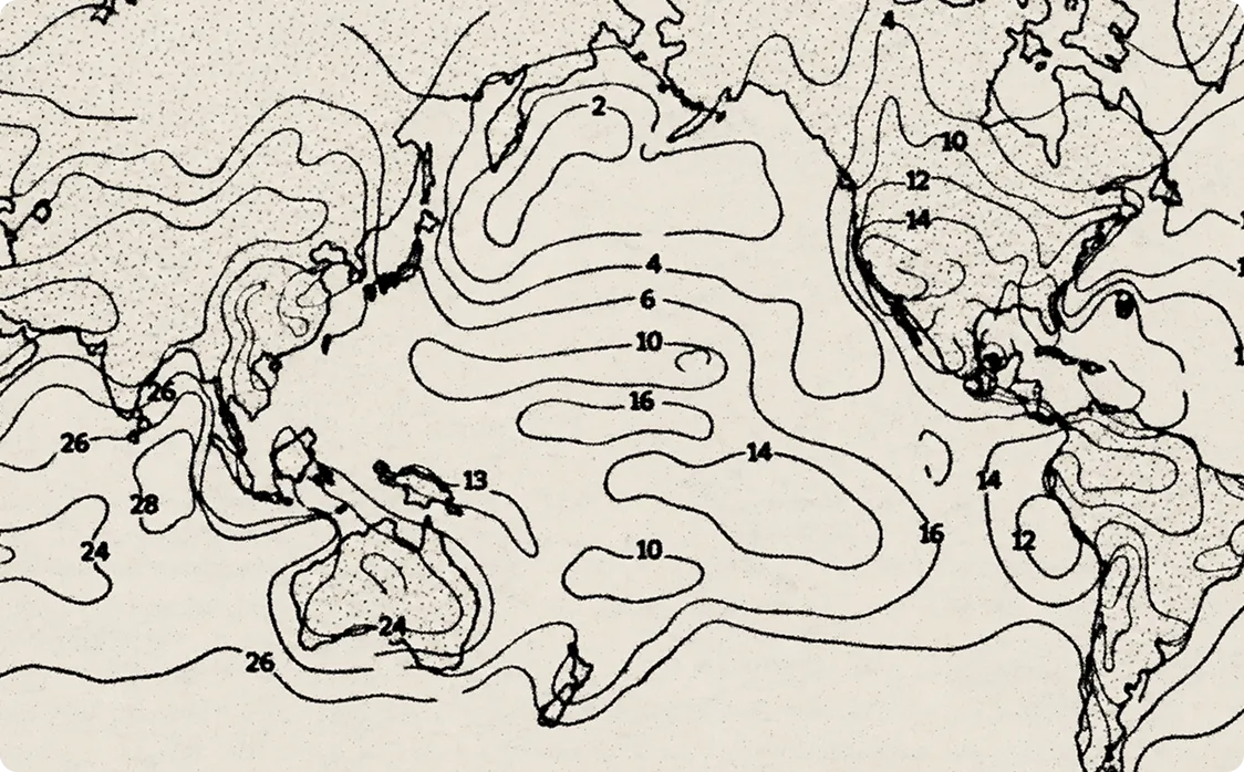
Georesource prospecting success rates average 10% in frontier basins, costing millions of dollars per attempt. Organized Matter is improving accuracy, reducing fieldwork expenses and speeding up the deployment of successful wells by orders of magnitude.
Data Centers & Infrastructure
Securing compute infrastructure
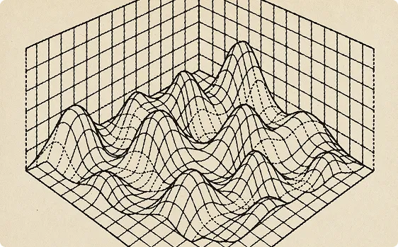
Securing grid interconnection takes data centers up to 14 years, and 80% of existing data center capacity is at elevated climate risk. Organized Matter optimizes siting and colocation to bring compute infrastructure online securely and without delay.
Defense & Security
Geospatial intelligence for autonomy
Autonomy depends on accurate geospatial data for navigation, coordination, and mission planning. Organized Matter delivers multi-domain intelligence for AI-driven defense operations across the world's most contested environments.

Insurance & Risk
Mitigating exposure
Weather-related damages average $180B per year, and 25% of all critical infrastructure in the US is at risk of becoming completely inoperable. Organized Matter helps Fortune 200 underwriters mitigate exposure at unprecedented scale and resolution.
03
Value
Speed
Months of geospatial analysis - reduced to days. No waiting for field surveys or manual data pipelining.
Scale
What took a team of 10 now takes one person. OM handles the complexity so your team doesn't have to.
Integration
One environment. Raw data in, explainable GeoAl models out. No switching between 5+ tools or managing 10+ file types.
Transparency
Every decision carries full audit-ready data lineage. Designed for enterprises where accountability is not optional.
04
Team
Built by a team with backgrounds in Earth observation, spatial computing, immutable data infrastructure, and natural resource management - across Lockheed Martin, Apple, Google, Amazon, Intel, Stanford University, UC Berkeley, and beyond.

.avif)
.svg)
.svg)
.svg)
.svg)
.svg)
.svg)
05
Get in touch
Whether you have questions, suggestions, or just want to reach out, we’re here to help and listen. Our team is always open to feedback and collaboration opportunities. Don’t hesitate to get in touch!